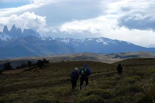
Y el día siguiente llegó. Por la mañana hicimos deporte con Cristian y Manolo y por la tarde decidimos salir a investigar el extremo oeste de Sierra Contreras.
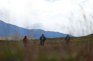
Estábamos saliendo cuando yo me encontré a Mario, que se creyó de verdad que íbamos a dar un paseíto y se apuntó, y Marina se encontró a Camila, que tenía ganas de salir a ver un poco de la Patagonia.
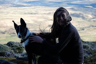
Hacía un viento muy fuerte, el famoso viento patagónico que hay que agradecer al campo de hielo sur, lo que debió llevar nuestro olor hasta Ramer, el border collie del campamento. Así que el grupo ya estaba completo con el perro loco espanta guanacos.
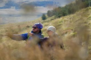
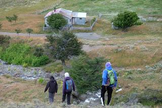
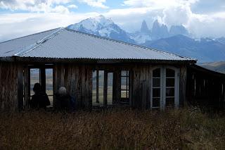
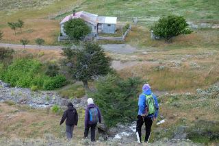
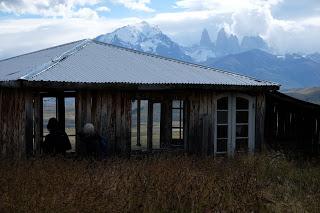
Bajamos hacia el puesto del leonero donde yo tenía pensado adentrarnos en el bosque y empezar a subir.
No íbamos completamente a ciegas, yo tenía en mente el claro al que teníamos que llegar ya que un día había subido expresamente hasta la falsa cima de la sierra sólo para ver por dónde atacar la cima del extremo oeste.
Teníamos también la app que utilizábamos en Canadá con la topografía de la zona y el GPS para evitar sustos.
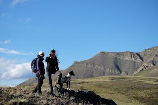
Nos adentramos en el bosque donde pudimos descansar del viento. Nos han explicado que cuando decidieron el emplazamiento de AWASI buscaban un sitio donde el viento no fuese tan fuerte, por eso estamos en el único bosque de la zona: si los árboles pueden crecer el viento no es tan fuerte. Y una vez han crecido hacen de barrera.
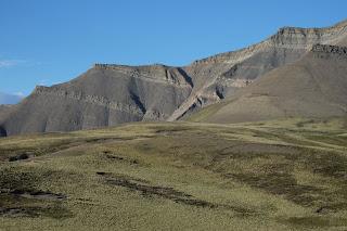
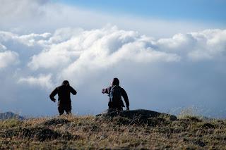
Fuimos atravesando el bosque sin seguir ninguna senda o camino. Los humanos subiendo a ritmo tranquilo y Ramer subiendo y bajando constantemente, tiene justo un añito.
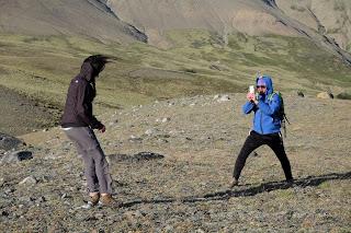
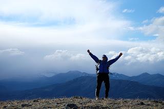
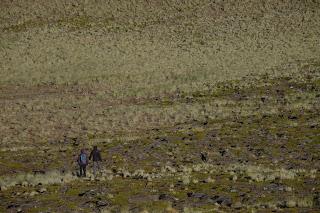
Pasadas casi dos horas llegamos al claro que buscábamos y el viento casi nos barrió. Una vez en él nos dimos cuenta de que estábamos en un cuenco gigante de pasto, con unas rocas grandes en su extremo oeste que no sabemos cómo llegaron ahí.
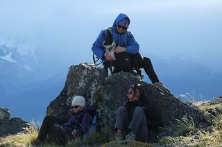
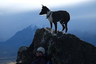
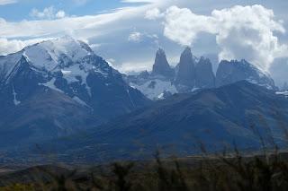
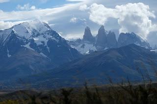
Justo llegamos cuando la luz del atardecer estaba más bonita así que caminamos hacia las rocas, en lo que resultó ser el mejor mirador de las Torres del Paine.
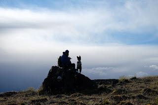
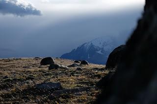
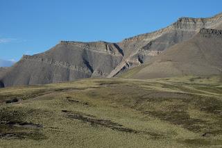
Yo aproveché para mirar atentamente la ladera de la montaña situada más al oeste de Sierra Conteras; era muy empinada y tenía dos láminas de incrustaciones de piedras que formaban dos paredes verticales de unos 4 o 5 metros de altura. Pero había caminos de guanacos tanto arriba como abajo. Descender desde la cima se veía difícil pero no imposible.
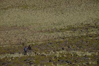
Volvimos al campamento cuatro horas después de salir “a dar un paseo” con la idea de recorrer todas las cimas de Sierra Contreras macerando…Enrique & MarinaEnglish versionTHE WINDY CLEARING
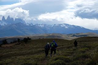
On our second day of “rol” (time off) we spent the morning working out with Cristian and Manolo. But in the afternoon we wanted to explore now the West side of Sierra Contreras.
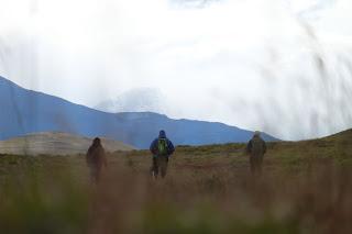
When we were about to leave Enrique found Mario, who believed us when we said we were just going for a walk and joined. I went to pick up Camila, who also was keen on getting some fresh Patagonic air.
That day the wind was strong even for Patagonic standards and brought our smell to the camp’s border collie’s nose. As any good dog, Ramers has a sixth sense to identify any human about to go for a walk and she joined the crew assuming the role of crazy dog and guanaco chaser.
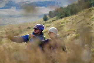
We started walking down to the shelter known as the lion keeper’s place. That is an old building where the person in charge of keeping the pumas away from the sheep farm lived. Currently there’s no lion keeper as we’re a puma reserve and we’re trying to recover the puma population as much as possible. However, sometimes one of the gauchos or baqueanos that work for Awasi stays at the shelter taking care of the horses that we use for the guests to ride.
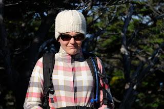
Although we didn’t have a trail to follow or any directions we weren’t just walking aimless. The objective was a wide clearing on the West end of the range that Enrique had seen from the forestline on the marked trail.
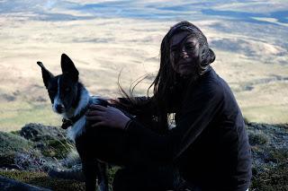
Besides we had our GPS with the topography of the area dowloaded. At the same time we recorded the trail on that app we had discovered in Canada called View Ranger.
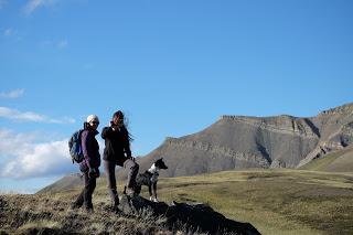
The group walked through the forest which gave us a little break from the wind. We’ve been told that they chose Awasi’s location because it was sheltered from the wind. The camp and the hotel really is in one of the few forests of the range. Then, if the trees can grow that means the wind isn’t that bad and once they’re tall they’ll work as a barrier.
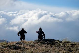
Still in the forest, we couldn’t really follow a trail other than guanaco’s paths. The humans climbed slowly but steady while the canine member could run up and down in the same time we took to just go up once. Ramers is only one year old and she’s full of energy.
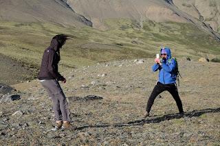
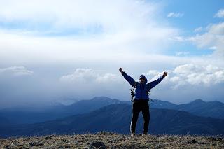
After about two hours we got to the clearing we were trying to find and the wind nearly blows us back down in one go. The clearing is an extended prairie with a few gigantic rocks on the West end that we can’t think of any realistic way they arrived there.
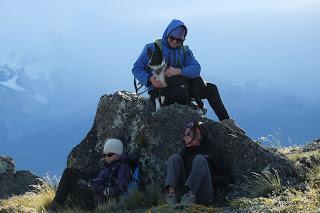
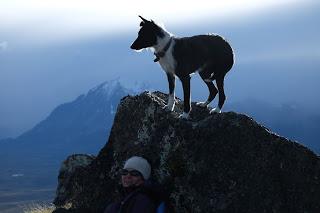
We reached the top when the sunset light was at its best and when we arrived to those strangely located rocks we realised that this was the best lookout of the Torres we had ever been.
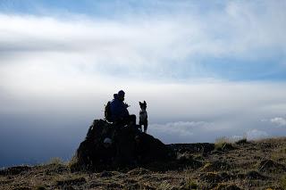
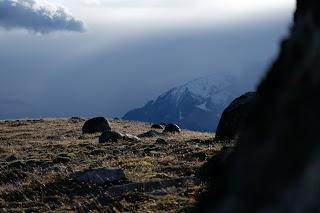
From there we took the chance to have a close look to the slopes of the highest mountains of Sierra Contreras. There were a couple of vertical sections of about 4 or 5 m that would be tricky to pass. However, there were guanacos trace paths above and below them which means that the top could be summited even now without any snow.
After a prickly way down that included going over a section of avalanche debris, we had dinner at the staff cafeteria with the idea of getting to the very top developing in our heads. Enrique & Marina
