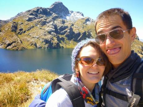
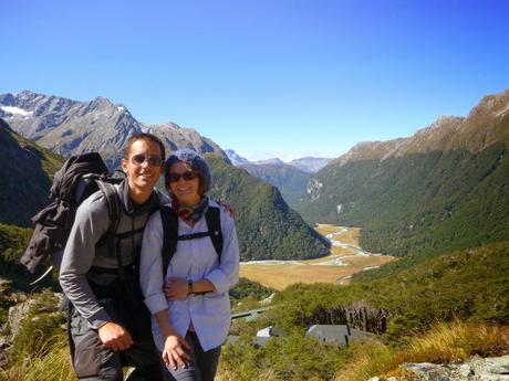
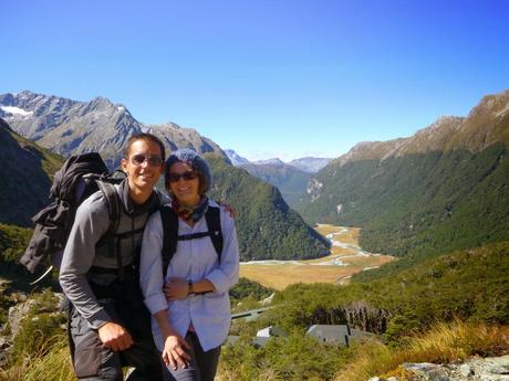
La semana pasada aprovechamos la inmensa suerte que tenemos con el tiempo en nuestros días de descanso para irnos de caminata por el Routeburn Track, uno de los “Great Walks” de Nueva Zelanda que está a tiro de piedra de Glenorchy. Nuestra intención era subir hasta la cima de Conical Hill y ver, muy a lo lejos, el Mar de Tasmania. ¿Lo conseguimos?
Los “Great Walks” son doce espectaculares recorridos que el gobierno neozelandés tiene muy bien cuidados y preparados para que excursionistas de cualquier nivel de forma física puedan experimentar la naturaleza del país. Ideales para domingueros y gente sin costumbre de caminar, como los chinos de ciudad, que te los encuentras por aquí igual que en Pekín; vestidos con chándales verde flúor, gorras de naranjito y marcando territorio a escupitajos. Angelitos.
Son recorridos pensados para hacerse en varias etapas, de tal modo que debas pernoctar en los refugios que el DOC (Departamento de Conservación Ambiental de Nueva Zelanda) tiene repartidos por el camino. Estos refugios son caros (54 NZD por cama y 18 NZD/persona por acampar en temporada alta) pero el dinero que ganan con estos “Great Walks” se utiliza para mantener el resto de caminos y senderos gratuitos del país, lo cual está muy bien. Es por esto que los “Great Walks” se consideran excursiones de pago y es por esto que cada vez que vemos a un guiri camino del Routeburn, el Kepler o el Milford le damos telepáticamente las gracias por contribuir al mantenimiento de los caminos que Marina yo solemos hacer, que son los gratuitos.
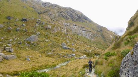
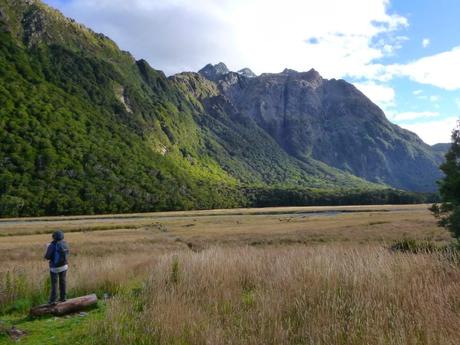
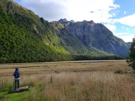
El Routeburn Track, que lleva siendo una atracción turística desde el año 1880, es un recorrido de 32 km a través de los Alpes (Ka Tiritiri o te Moana) que enlaza los parques nacionales de Mount Aspiring y Fiordland y que el DOC recomienda hacer entre dos y cuatro días (cuantos más días estás, más dinero recaudan). Nosotros sólo teníamos un día, así que nos lo montamos para hacer una excursión de ida y vuelta de unas diez horas de duración.Routeburn Roadend – Routeburn FlatsCogimos el coche a las siete y media de la mañana y a las ocho empezamos a caminar vestidos como esquimales a través de uno de los innumerables hayedos que hay en esta zona. Antes de que se me vaya el santo al cielo aquí viene un pequeño inciso: este año es un “mast year”. ¿Y esto qué es? Pues resulta que las hayas nativas de Nueva Zelanda (“beech trees” les llaman aquí) no dan semillas cada año. En lugar de eso parece que se ponen de acuerdo cada x años para dar semillas todas a la vez, lo que se conoce como “mast”. ¿Qué tiene esto de especial? Todos los bosques de por aquí son de hayas, por lo que tenerlas a todas soltando semillas a la vez implica tener un montón de alimento en el sotobosque. Antes de la llegada de los humanos (polinesios y europeos) en Nueva Zelanda sólo había pájaros por lo que un “mast year” implicaba un festín para las centenares de especies de aves nativas. Con la llegada de los humanos llegaron las ratas, los ratones y las comadrejas. Debido a la abundancia de alimento, los ratones crían muchísimo más de lo habitual, igual que las ratas. Una vez se acaban las semillas, sobran ratones, a los que se comen las ratas y las comadrejas. Una vez no quedan ni semillas ni ratones, lo que tenemos es una invasión de ratas y comadrejas que no tienen nada que comer. ¿Qué hacen? Se comen a los pájaros nativos de Nueva Zelanda que, al no haber tenido nunca depredadores naturales, tienen el hábito de anidar en el suelo sin ni siquiera molestarse en camuflarse mínimamente. Es por esto que el DOC está realizando campañas de aniquilación de ratas, ratones y comadrejas mediante veneno (1080, que sueltan a toneladas mediante helicópteros) y mediante trampas anualmente, con una dotación extra de veinte millones de dólares para este año. Con estas campañas se busca proteger, entre otros, al Mohua, que es una de las especies que estudia Marion Rhodes de nuestra familia en Greta Valley (Bill y Marion).Bueno, como decíamos hace cuatro párrafos, empezamos a caminar por el bosque a las ocho de la mañana con un fresquito considerable. Adelantamos a un par de chicas que llevaban unas mochilas claramente sobredimensionadas (llenas de por si acasos seguro) y nos cruzamos con un par de señoras pensionistas que bajaban casi sin fuerzas para saludar. Routeburn Flats – Routeburn FallsLlegamos a Routeburn Flats (esto viene a significar los llanos de Routeburn) casi sin darnos cuenta así que seguimos sin inmutarnos hasta las Routeburn Falls (las cataratas), lugar al que muchos huéspedes de Blanket Bay van a pasar la noche y siempre comentan que es impresionante. Claro que, en general, son gente con estándares muy diferentes a los nuestros, pero bueno, nunca se sabe.
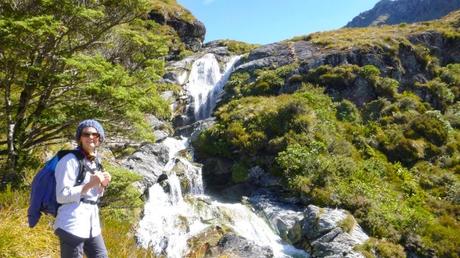
En el camino adelantamos a una pareja de valientes: ella embarazada de treinta y cuatro semanas en camiseta de tirantes y él… bueno, en caso de parto prematuro más le valía ser valiente.Unas tres horas después de empezar a caminar llegamos hasta el “refugio” de Routeburn Falls. Madre mía. Lo que nos encontramos ahí es la versión del Ikea de Ribendel. Es un edificio con capacidad para cuarenta y ocho camas que se alza unos quince metros del suelo por lo que está a la altura de las copas de los árboles, impresionante. Pero eso no es todo. Justo unos metros más adelante nos encontramos con el “lodge” sólo para excursionistas con guía (pijos o gente insegura que teme perderse en uno de los caminos mejor señalizados del país), que tiene hasta televisión por satélite. Y todo esto rodeado, literalmente, por los saltos de agua de la zona.Routeburn Falls – Harris SaddleDespués de mirar ambos edificios con ojo ingenieril y catalán (qué caro debe haber sido traer todos los materiales en helicóptero) proseguimos hacia Harris Saddle seguidos por una chica rarita a la que decidimos dejar atrás acelerando el paso ya que parecía que le daba vergüenza adelantarnos incluso cuando nos parábamos constantemente para hacer fotos de tonterías. No somos buenos enviando mensajes subliminales.
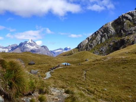

Con el rato que llevábamos caminando se nos hizo medio día, por lo que alcanzamos al convoy de gente que estaba haciendo la segunda etapa del Routeburn. No nos indignamos porque después de todo este tiempo de viaje hemos alcanzado un cierto Nirvana espiritual que nos permite tolerar a las masas de domingueros, pero esto está casi tan masificado como las Ramblas en Sant Jordi. Incluso nos pareció ver a trileros preguntando a los alemanotes “¿Dónde está la pelotita?”
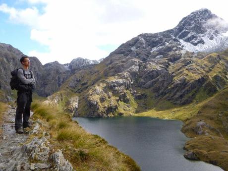
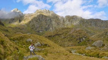
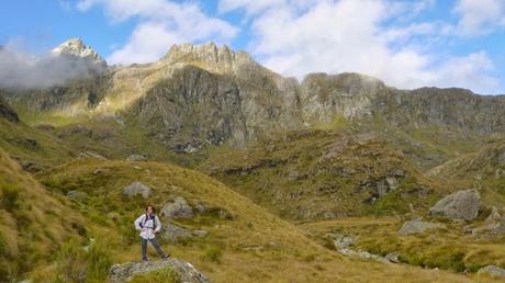
Harris Saddle – Conical HillLlegamos hasta el refugio de Harris Saddle (este es un refugio para refugiarse, no para quedarse a dormir) e inmediatamente nos fuimos a subir Conical Hill, una montaña de forma cónica no muy alta pero que, para entendernos, “hace subida” casi como el Avalanche Peak que subimos cuando estuvimos en Arthur’s Pass.
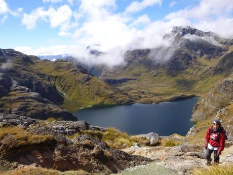
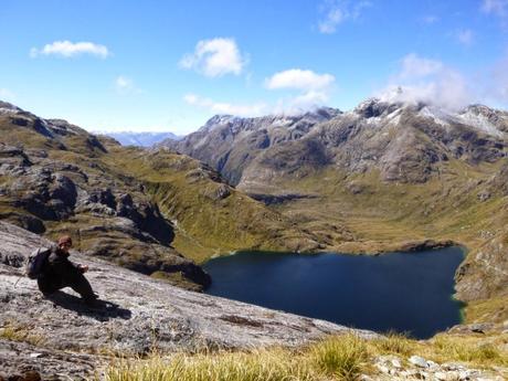
Los últimos metros de ascensión hay que hacerlos ayudándose con las manos porque es muy empinado y porque hay hielo y resbala; seguridad ante todo.
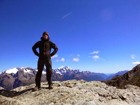
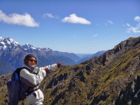
Conquistamos la cima, pusimos los brazos en jarras… y vimos el Mar de Tasmania a lo lejos.

Muy bonito. En el camino de vuelta hacia el refugio de Harris Saddle nos encontramos con la pareja de embarazados. Qué valor.
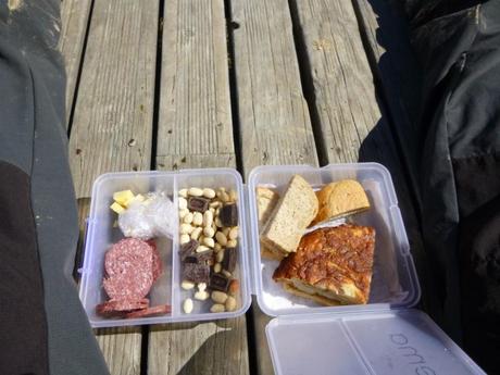
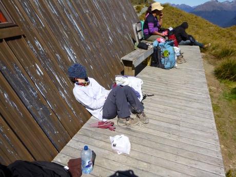
En ese refugio comimos una buena tortilla de patatas con una familia (unos treinta) de gente del Pacífico (polinesios) que tenían una guasa que parecían de Cádiz. La comidilla de ese mentidero improvisado fue la chica embarazada. Así, gracias a una señora de estas que se enteran de todo, pudimos saber que la chica era médico en el Everest, donde conoció al padre de su futura criatura, que hacía veinte años que era guía de montaña en Queenstown.
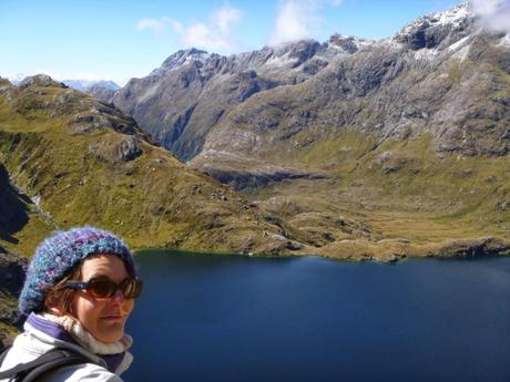
VueltaDespués de la siesta emprendimos el camino de vuelta seguidos a muy poca distancia por los embarazados, que según nos explicaron, consideraban esta excursión algo así como una “relaxing cup of café con leche in la Plaza Mayor”. No somos nadie.
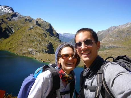
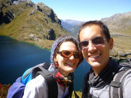
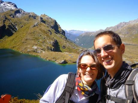
En resumen, nos lo pasamos muy bien y tuvimos un tiempo genial. No se puede pedir más.
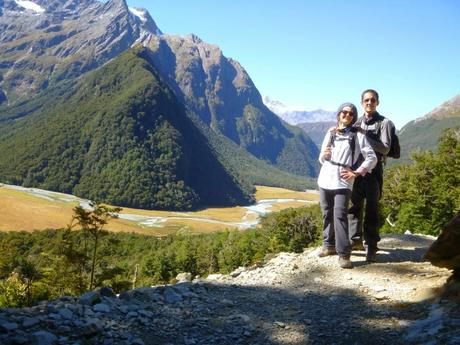
Ya tenemos la siguiente actualización medio preparada, en este caso sobre una nueva afición que tenemos gracias a James (uno de los chefs que vive con nosotros): escalar. En breves la tendréis por aquí. Enrique & Marina
English version
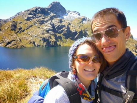
Last week we took advantage of our good luck with the weather on our days off and we walked the Routeburn Track, one of NZ’s great walk which starts less than 30 minutes far from home. Our goal for the day was climbing a mountain called Conical Hill and sight the Tasman see at the end. Did we achieve that?
NZ’s Great Walks are twelve spectacular walking tacks specially well looked after and whose topography makes them suitable for almost any level of fitness. They’re ideal for “Sunday drivers” and other people with no habit of walking such as urban Chinese people.
This tracks are a few days long so trampers should stay overnight at the huts and camping grounds that the DOC (Department of Conservation) keeps on the way. These huts are pretty expensive (54 NZD per person in a bunk or 18 NZD per person in a tent) but all this money goes to take care of not only the Great Walks but shorter and less popular ones. Besides, the maintenance of these shelters in the middle of the bush is, for sure, not cheat at all. Then, every time we see someone heading the Routeburn, Kepler or Milfor track, we say a silent “thank you” for helping with the upkeeping of the tracks we normally do, that are short and free.

Particularly, they Routeburn track has been a tourist atraction since 1880. It’s a 32 km-long track through the Southern Alps (Ka Tiritiri or te Moana) which links the National Park (NP) of Mount Aspiring with Fiorland NP. The whole track takes between two and four days depending on your level of fitness and the orbital short walks that you want to take. Again, we only had one day so we planned a 10-hours-return route. Routeburn Roadend – Routeburn FlatsWe left home at 7.30 and at 8 we were already walking through a beech forest dressed like Eskimos. We overtook two girls with a couple of backpacks with, possibly, enough gear to climb the Everest and, in the opposite direction, two old ladies with barely the strength to say “G’day”. Just before we forget, let me tell you an interesting fact: this year is a “mast year”. What’s that? Well, beech trees don’t produce seeds every season but every certain number of years all of them manage to grow seeds at the same time, and that’s what we call “mast”. What’s special about it? Most forests here have plenty of beech trees and all this seeds become a great source of food for its wildlife.Before any humans (Polynesians and Europeans) got to New Zealand, there were only birds to eat this seeds, and a mast year meant a feast for them and an explosion of new young birds in spring. Unfortunately, with the humans, rodents and ferrets arrived too, and now this seeds feast is enjoyed by this foreign animals first leading to an overwhelming increase of their population. Once they’ve gone through all the seeds, rats and ferrets start eating mice. And once there’re not enough mice, starving rats and ferrets eat eggs and native birds, which are not used to predators (as they never had them before the arrival of people) and usually nest on the ground.To help the native birdlife, DOC is running a huge program to poison rats, mice and ferrets and tracking the success of the plan. This mast year has brought the Department an extra 20 milions of NZD in their budget, so you can tell how important is the situation. The actions are not only the spread of the poison but also lots of bird counting expeditions, tracking the predator populations using traps and other devices and so on. Moreover, not only DOC workers are involved in this task but also volunteers take a role on that. Routeburn Flats – Routeburn FallsWe got to the Routeburn Falls almost with no notice and we kept on our way to the Falls, where lots of our guests at Blanket Bay spend a night and always say it’s amazing.
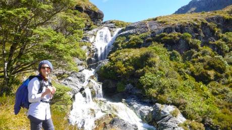
In this bit we walked past a lot of people but there was a brave couple worth to mention: she thirty-four weeks pregnant and wearing a no-sleeves shirt and he… well if the baby decides to break waters, then he better be a brave guy. Three hours after the start, we got to the Routeburn Falls hut, where most people finish the first stage. What we actually found could be actually called the IKEA version of Ribendel. The hut is a huge building with 48 bunks located at 15 meters above the ground, so three top level. But that’s not all.A few meters ahead there’s “The Lodge”, only available for guided trampers (yes, even the path is as obvious as a street there’s people who books a tour with a guide) with electricity and SKY TV. And all this surrounded by the Routeburn Falls. Routeburn Falls – Harris SaddleAfter inspecting the buildings with our engineer and Catalan eyes (I wonder how much was the helicopter transport of this beam up to here?) we resumed our way towards Harris Saddle.
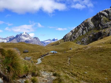
After this time walking, we caught the people walking their second stage (starting from Routeburn Falls). The track was pretty crowded from the last point on but you can’t complain when the weather is so good that everyone wants to go outdoors and so do you.
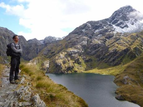
Harris Saddle – Conical HillThe track goes arround the Lake Harris and then reaches Harris Saddle, where there’s a day hut to be used a shelter to have a break. The path to the top of Conical Hill starts just at the back of the building so a lot of people leave their backpacks in the shelter to pick them up latter. We didn’t do it. Conical Hill is a steep but not very tall mountain and the views from the top are meant to be superb.
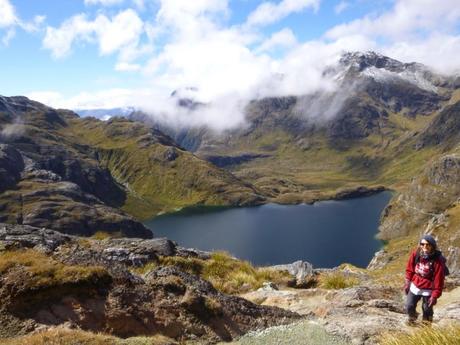
The last few meters were steep and we had to help us with our hand as the track was slippery and was covered with ice in some parts.
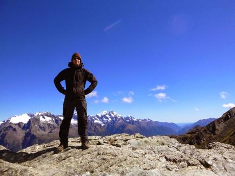

We reached the top, putted our hand on our hips… and we saw the Tasman Sea in the distance.

Very nice. On our way back to Harris Saddle we saw the “pregnant couple”. They must be very brave.
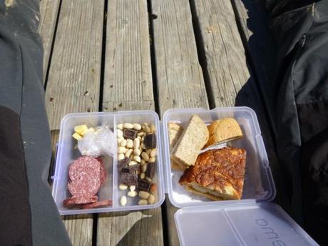
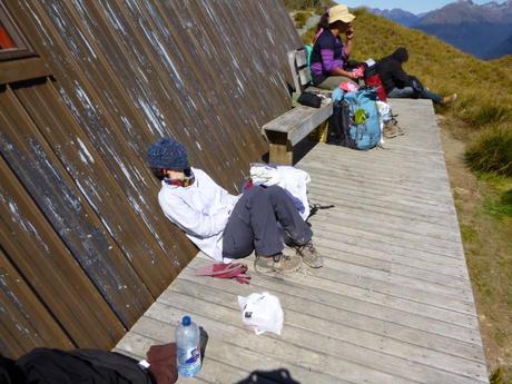
We had our lunch (Spanish tortilla) in the day shelter with a family of about thirty Polynesians, very friendly all of them. The main topic of the conversation was the pregnant tramper. Thanks to one of these ladies who know all the gossip, we discovered that the girl was a doctor in the Everest where she met the father of the baby, who’s been a mountain guide in the Queenstown area for more than 20 years.
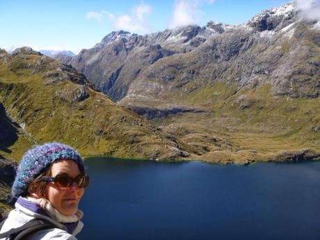
And backAfter a short nap, we started our way back followed by the “pregnants”. They told us, in other words, that this walk was like “a day in a spa” and also the last adventure before the bundle arrives.
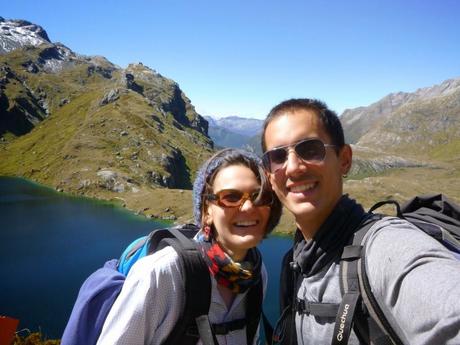
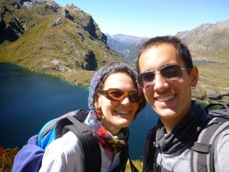
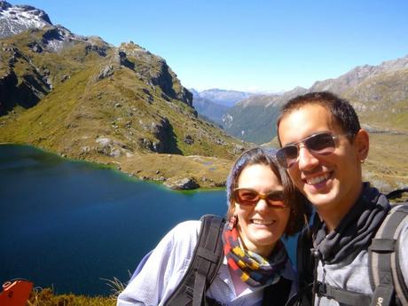
Summarizing, we had a great time and the weather is still with us. What else can we ask for?
 FOTO 19We’re getting ready the next post, which is going to be about a new hobby that we practice with James (one of our chef/housemates): rock climbing. Enrique & Marina
