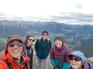
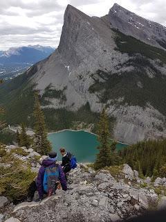
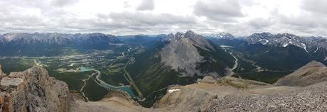
Rundle es una sierra montañosa de 12 km de largo situada entre Canmore y Banff con 7 picos en su recorrido. La cima situada más cerca de Banff, conocida popularmente como Mount Rundle (Rundle 1) es la montaña más fotografiada y reconocible de Canadá.
Existe la posibilidad de caminar toda la sierra, en lo que se conoce como el Mount Rundle Traverse, pero esto, de momento, supera nuestro nivel montañero.
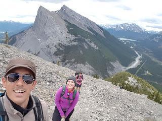
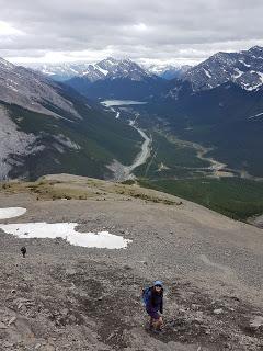
La excursión que hicimos nosotros es la que se conoce como EEOR o East End Of Rundle, que consiste en ascender hasta la cima del Rundle 7, el pico situado más al este, en Canmore. Es uno de los “scrambles” más famosos de las Rocosas, es duro, pero asequible.
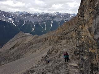
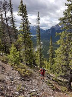
El camino empieza casi enfrente del que lleva hasta Ha Ling Peak. Se empieza subiendo por la zona del bosque, siguiendo un camino con un montón de bifurcaciones: esta es la pega de hacer una excursión tan popular, la hace tanta gente que los caminos de ascenso se multiplican.
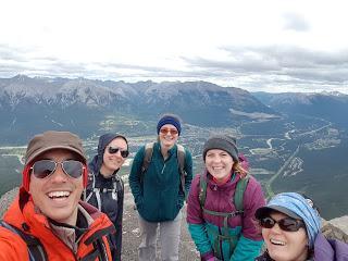
La subida es bastante empinada y el camino resbaladizo. Ascendimos serpenteando entre los árboles hasta llegar a la falda rocosa de la montaña. Ahí empezó la diversión para los cinco valientes (a Marina y a mí nos acompañaban Nyvonne, Emily y Kate, todo chicas) excursionistas.
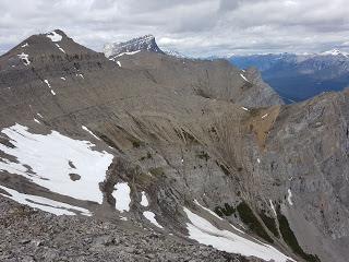
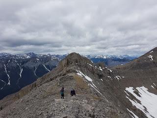
Había zonas tan empinadas que era preferible subir a gatas, lo que es realmente un “scramble”. Así los cinco subimos más o menos en paralelo, cada uno encontrando su propio camino. Algunos evidentemente con más suerte que otros, pero acabamos todos en el mismo llano.
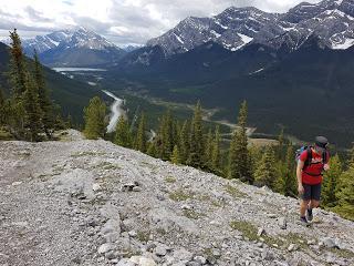
Una vez en el llano posterior al bosque se podía apreciar perfectamente el pedregal por el que íbamos a subir hasta la cresta de la sierra. Había dos rutas más o menos claras: una que iba por la derecha de una gran roca y que seguía la cresta desde muy abajo y otra que iba por la izquierda de la gran roca, en línea recta hacia la cima.
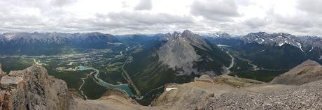
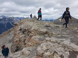
Escogimos la ruta de la izquierda porque era la que aparecía recomendada en el blog de un montañero de la zona. Fue un acierto ya que, aunque aparentemente se veía mucho más complicada, estaba menos expuesta al viento y al frío, por lo que era más fácil ir subiendo.
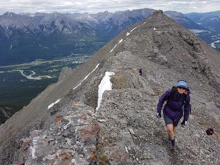
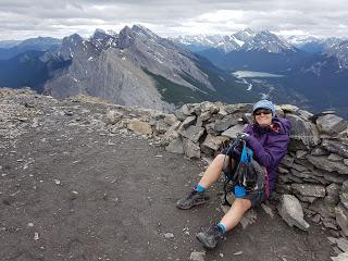
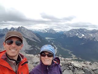
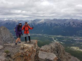
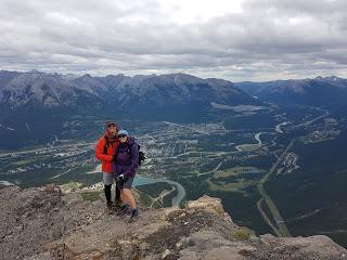
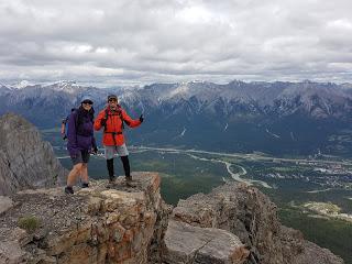
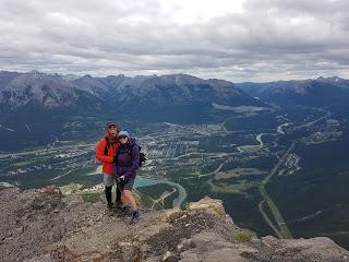
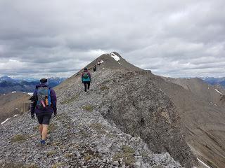 Subimos como las cabras, ayudándonos con las manos en la última zona rocosa antes de la cima, que era realmente un pico, con sitio para los cinco valientes y las mochilas.
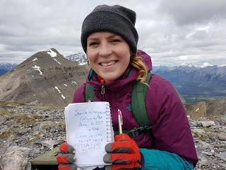
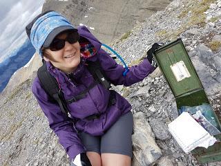
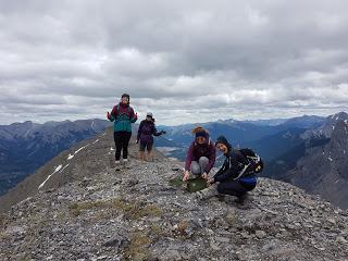
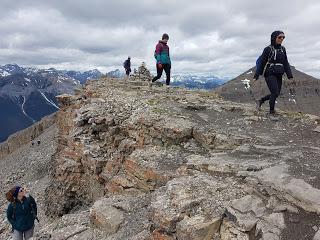
Una vez en la cima nos dedicamos a ir arriba y abajo siguiendo la cresta, que era bastante estrechita, hasta llegar a otro pequeño pico en el que, sorpresa, había una caja metálica verde con un libro de visitas en su interior. Evidentemente lo firmamos.
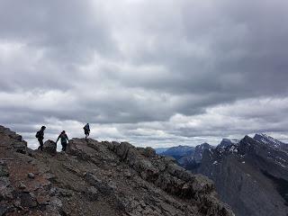
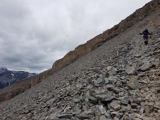
Pasado un rato en el paisaje marciano nos entró un poco de frío a todos así que decidimos bajar, que ya tocaba.
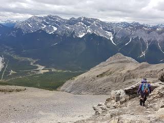
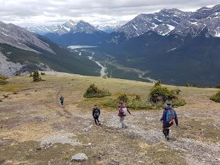
En esto de subir pedregales lo complicado está en el descenso, ya que las rodillas sufren y los muslos se cansan, por lo que es en la parte final donde hay que ir con más cuidado de no tener una caída tonta.
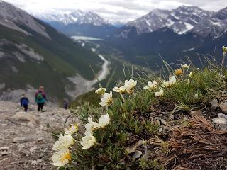
Todos llegamos al final sanos y salvos, con ganas de más montañas, pero habrá que esperar al próximo fin de semana.
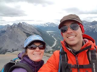
Enrique & MarinaEnglish version
HIKING IN KANANASKIS: EAST END OF RUNDLE (2480 m)
Rundle is a 12 km long range located between Canmore and Banff with 7 peaks. The highest summit located at Banff’s side is called Mount Rundle (Rundle 1) and is the most photographed and iconic mountain of Canada.
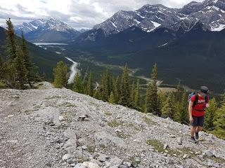
You could actually traverse the whole range summiting all the peaks but this is, at this point, out of our skill level.
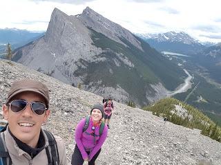
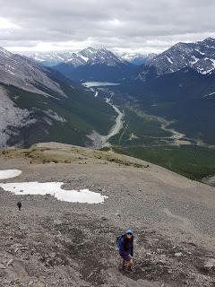
What we did is what local’s normally refer to as EEOR which stands for East End of Rundle. In this case, we approached the range from Canmore’s side and reached Rundle 7. This is one of the most famous scrambles in the Rockies and while strenuous it’s attainable.
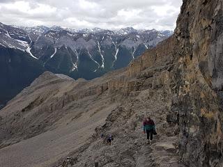
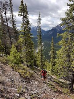
The parking lot is very close to Ha Ling Peak’s. The trail starts climbing up the forest right away and there’re many different trails to approach the scramble. There isn’t a marked track so we just followed our instinct and chose the paths that seemed easier for us.
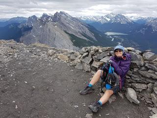
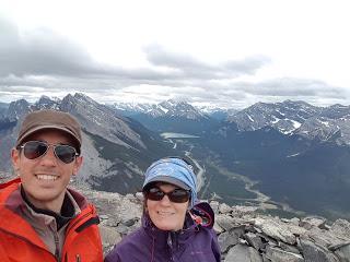
The way up was steep and slippery. We walked our windy way up in between the forest for a while and, before the end of the threes, the scramble starts. It was there where the five adventurers (Nyvonne, Emily, Kate and the two of us) started having fun!
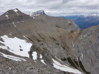
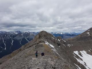
There were some sections that you were better off using your hands to help yourself crawl up. We all found our own ways up and eventually reached the same sort-of-flat area.
From there we could perfectly see the mountain cree we were about to cover. There were two clear routes to follow: one went on the right side, over a huge rock and followed the ridge from a pretty low section; the other was almost straight through the cree up to the top.
We read on line that the second was the best option and some hikers we saw on their way down also recommended it since it worked well for them. Going over the rock and the ridge seems less technical but it is actually very exposed to the cold wind which was picking up at that time.
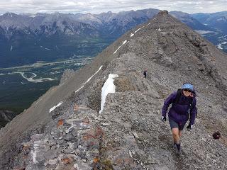
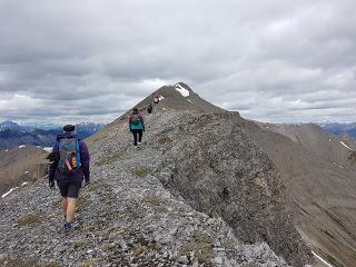
We scrambled up with our usual goat style, using as many hands as we had available and made it to the very summit where there was enough space only for us five and our backpacks.
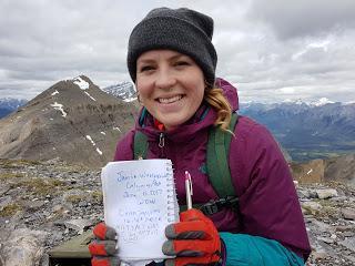
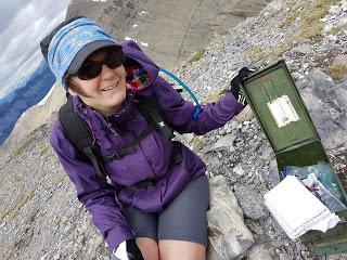
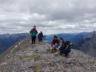
At the top we walked up and down the narrow ridge for a bit, checking the different views we could get from each elevation. And in one of these we found a little green metal box that contained a visitor’s book to sing! People had been leaving muesli bars, candy, band-aids and other little treasures as well.
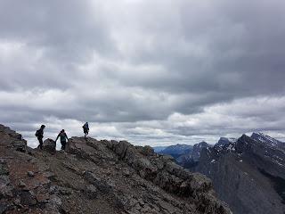
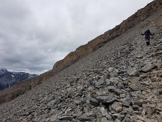
After a while checking out the out-of-this-world landscape we started feeling the cold and decided to start getting down because it was the right time to do so.
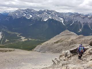
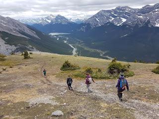
However, the hardest part was still to come since everyone knows that the way down is at least as hard as the way up. Yeah, you think that gravity works in your favour but your knees and thighs have to support all your weight and may not completely agree with that statement. Therefore, you have to be super careful not to have a silly fall.
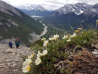
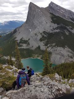
We all reached the end safe and sound and avid of more mountains, but we’ll have to wait for the next weekend to do another big one.
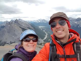
Enrique & Marina
