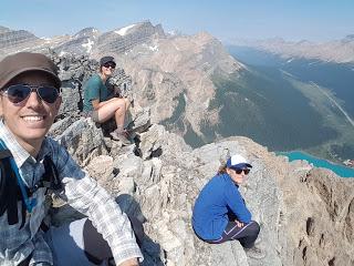
Cuando fuimos a las Bow Glacier Falls nos quedamos con ganas de ver el Bow Lake desde las alturas y también de ver la parte superior de las cataratas, así que Marina, Nyv y yo volvimos por esos lares.
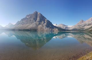
La montaña que delimita el lago en su parte oeste se llama Crowfoot Mountain y es famosa por su glaciar, el Crowfoot (no se mataron mucho con la toponimia).
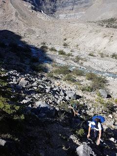
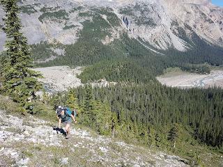
No hay un camino que lleve hasta la cima pero un par de chicos subieron y pusieron en Facebook algunas indicaciones, dibujaron un trazado encima de una foto de google maps y dejaron el GPS de su ruta para quien quisiera utilizarlo. Y nosotros quisimos.
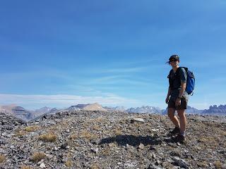
Así que nos levantamos pronto, vuelve a haber fuegos en los bosques y gracias a un simulador que tienen por aquí sabíamos que el humo llegaría a nuestra zona pasado el medio día, y nos pusimos en camino nada más desayunar.

Seguimos el camino que lleva hasta el Bow Hut, un refugio de montaña que está justo debajo del glaciar Bow. Pasada la Choke Rock (la roca del atragantamiento) que es un pedrusco enorme que está encajonado entre las paredes del cañón, el camino del Bow Hut se va separando paulatinamente del camino de las Bow Glacier Falls.
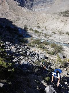
En un punto indeterminado del camino, más o menos a medio quilómetro de la Choke Rock, había que desviarse hacia la Crowfoot Mountain. Las indicaciones de los chicos eran muy claras: no atravesar el bosque, tratar de rodearlo por el pedregal y después subir a lo bruto.
El GPS ayudó un poco para ver por dónde habían ido ellos, aunque nosotros seguimos una ruta un poco más conservadora.
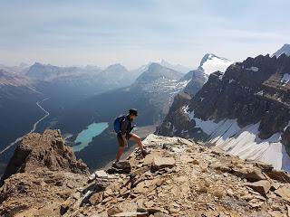
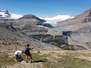
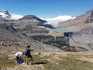
Una vez rodeado el bosque empezamos a subir por el pedregal hasta llegar a la cima de una colina desde la que se podía ver el glaciar Bow, las cataratas, el lago del deshielo del glaciar en incluso a un grupo de cinco montañeros caminando por la nieve.
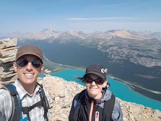
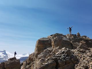
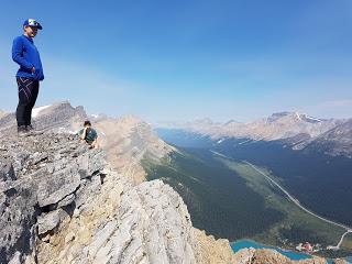
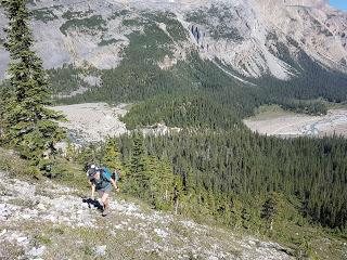
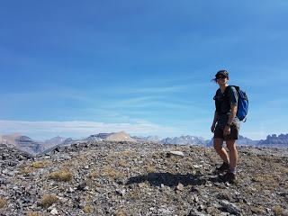
Desde ahí la ruta fue bastante directa; subimos hacia una especie de cresta y la fuimos siguiendo hasta llegar al pico norte de la Crowfoot Mountain.
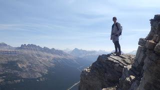
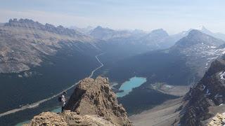
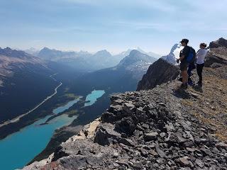
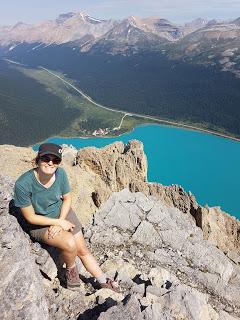
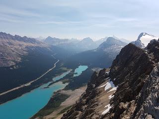
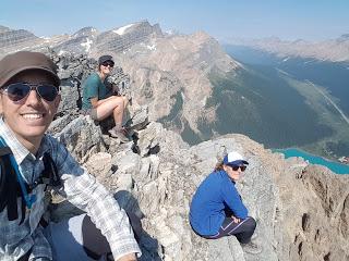
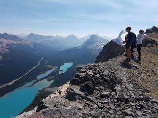
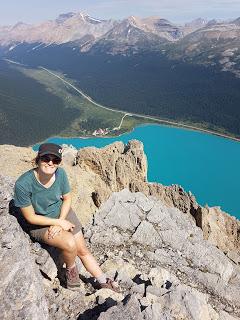
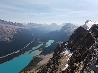
Las vistas del Bow Lake eran espectaculares. Incluso podíamos empezar a ver el humo que venía desde Banff.
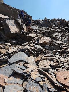
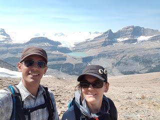
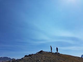
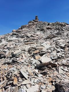
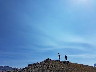
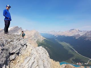
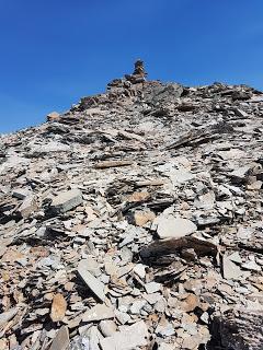
Desde el pico norte fuimos hacia el segundo pico siguiendo la cresta real de la montaña. Una vez llegamos vimos un hito inmenso, contribuimos con nuestra piedrecita y jugamos un rato por los alrededores, como las cabras.
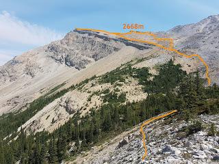
Bajamos la montaña por una ruta distinta a la de subida, por variar, y conseguimos no perdernos.
Enrique & MarinaHIKING IN LAKE LOUISE: CROWFOOT MOUNTAIN 2668 m
After the first visit to the Bow Glacier Falls we came up with this idea of seeing the Bow Lake from the top of one the surrounding mountains and check what was just above the falls. So Enrique, Nyv and me went again to explore the place further.
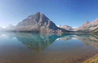
The mountain that limits the West side of the Bow Lake is called Crowfoot and it’s famous because of its popular glacier which is called Crowfoot, of course.
There isn’t a defined trail to climb up. But, not long ago, a couple posted about it in a scrambling Facebook group that we follow. They wrote some directions, draw the track on a google maps picture and uploaded the GPS file for anyone who wanted to use it. And we wanted to use all this.
The smoke is been pretty bad this summer and you really have to check the air conditions before climbing. We’ve been using the forecast provided by an experimental software developed by the University of British Columbia. So far it’s worked pretty well despite the possible inaccuracies the website warns you about. For that day, the smoke was forecasted to reach the area at around 3 PM, so we started nice and early.

We took the trail going to Bow Hut, a very popular mountain refuge located just under the Bow Glacier. Past the Choke Rock, a massive rock stuck between the two walls of the canyon, the trail slowly moves to the left away from the Bow Glacier Falls.
At some unclear point on the trail at about half a km from the Choke Rock, we had to take a left towards Crowfoot Mountain. The directions we had were super clear: don’t cross the forest, go around it over the rocks and then, straight up.
The GPS route helped to find their same path although we still took a slightly more conservative route.
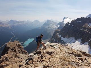
After going around the forest we made it to a hill. From there, we had amazing views of the Bow glacier, the falls and the glacier lake just above them. We could also spot eleven mountaineers walking on the snow still covering the slopes around the glacier.
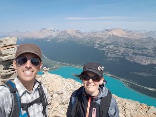
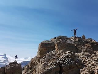
After that, the route was more or less clear. We found some kind of ridge and we followed it up to the North Peak of Crowfoot.
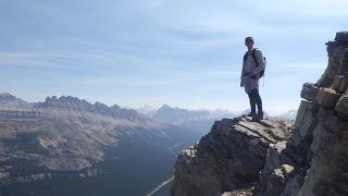
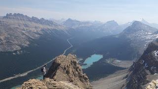
The views and the colour of the Bow Lake were spectacular. We could even see the smoke travelling over the valley from Banff and getting closer to us.
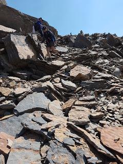
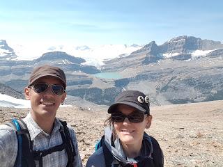
From there, getting to the second peak was just a matter of following the true ridge of the mountain. We found the massive cairn at the top, added our little stoney contribution and played around like goats for a little bit.
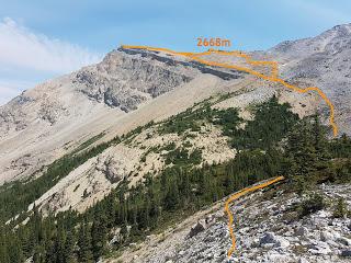
We chose a different route to go down, just to change, and we managed not to get lost. Enrique & Marina
