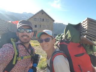
Hubo tormenta durante la noche pero estábamos tan cansados que casi ni nos enteramos. Al ir a desayunar a las mesas de la terraza del refugio nos dimos cuenta que justo daba el sol en una esquinita así que llevamos la tienda hasta allí para que se secase.
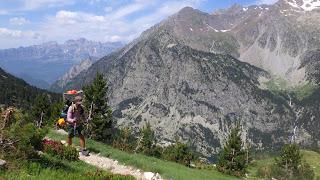
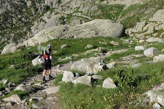
Salimos del refugio en dirección al Balneario de Panticosa (1636 m), al que llegamos en apenas dos horas siguiendo el curso del río de desagüe del Ibón de Bachimaña. Desde ahí subimos hacia el embalse de Brazato (2380 m) donde a medio camino llegamos a un cruce por el que venía un sendero desde el refugio de Bachimaña por el que no había que bajar hasta Baños de Panticosa. Fantástico, maravilloso; la próxima vez lo usaremos.
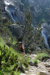
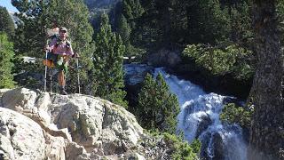
En el embalse de Brazato aprovechamos para comer y lavar algo de ropa. Mientras comíamos el cielo se encapotó así que nos apresuramos en acabar y empezamos la ascensión hacia el Cuello Alto de Brazato (2566 m).
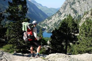
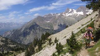
Por el camino, un pedregal inmenso y bastante empinado, cruzamos un par de neveros de nieve podrida donde nos planteamos ponernos los crampones.
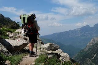
Una vez llegamos al Collado de Brazato empieza el descenso por el Barranco de los Batanes, formado por grandes rocas que hacen que se avance muy lentamente. En la guía este tramo está descrito como “rocas incómodas”. Un gran acierto descriptivo del Cervantes del montañismo.
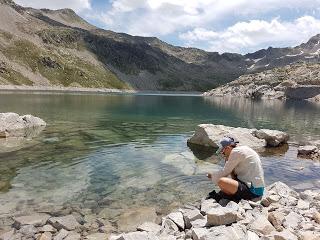
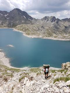
A media bajada, bordeando los Ibones Batans, nos encontramos con un señor más cerca de los 60 que de los 50 que iba más cargado que una mula que nos dijo que había salido de Bujaruelo 6 horas antes. Nos contó que ese era su primer día y que ya se estaba planteando ir dejando cosas de la mochila por ahí. Tenía intención de llegar hasta Baños de Panticosa. Pobre hombre, a día de hoy no sabemos qué fue de él, pero al ritmo al que iba no le auguramos nada bueno.
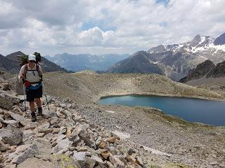
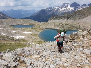
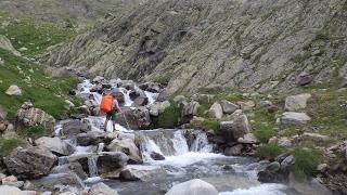
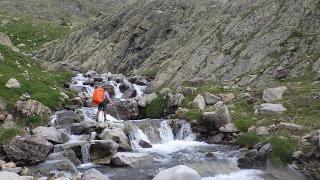
Seguimos bajando el barranco hasta un punto en el que el GR11 te hace cruzar el mismo riachuelo 3 veces; menuda broma.
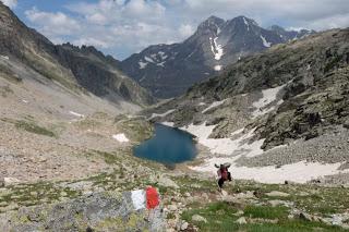
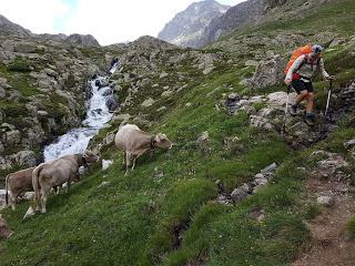
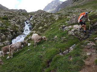
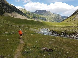
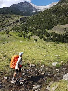
Al final dejamos el río Ara a nuestra derecha y nos pusimos a caminar por las praderas del gigantesco valle, plagado de marmotas y vacas, una de ellas muerta ya que por lo menos había 30 buitres a su alrededor.
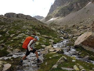
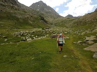
Pasamos por una cabaña de pastores en buen estado donde había una señal en la que ponía que todavía nos quedaban más de dos horas hasta Bujaruelo, lo que nos desanimó un poco porque ya estábamos cansados.
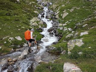
Seguimos caminando hasta llegar al Refugio del Vado de Ordiso donde nos encontramos a un señor con una camiseta de las Torres del Paine haciendo fotos a pájaros.
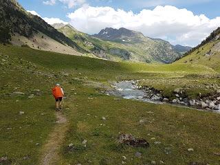
Desde el refugio el camino sigue una pista forestal que muere en el puente medieval de Bujaruelo, donde está el refugio guardado que tiene zona de acampada. Ahí pudimos darnos una ducha de agua caliente y mirar la previsión del tiempo, donde avisaban que al día siguiente llovería por la mañana; qué pereza.
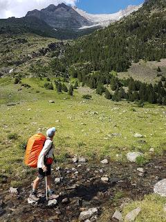
Al salir del refugio de Bachimaña uno de los guardas nos había dicho que tardaríamos unas 7 horas en llegar hasta Bujaruelo. 11 horas después de esa conversación, cuando por fin divisamos la zona de acampada de San Nicolás de Bujaruelo ya nos daba mucha pereza volver a Bachimaña a darle unas cuantas collejas al campeón que puede hacer este camino en 4 horas menos que nosotros, que en general caminamos razonablemente rápido.
Mientras montábamos la tienda se nos acercó Alfredo, un señor de San Sebastián que había sido corredor profesional y que estaba haciendo la GR11 en solitario. Tenía alrededor de 50 años y la arteria aorta de kevlar. Un ciborg. RESUMEN DE LA ETAPA:Fecha: 15 de julio de 2018Hora y altitud de partida: 09:00 a 2175 mHora y altitud de llegada: 20:00 a 1338 mDistancia: 23 kmDesnivel acumulado: +910 / -1600Tipo de vía: Sendero, nieve y rocasMeteorología: Despejado por la mañana y nublado pasado el mediodíaAlojamiento: Acampamos en el cámping del Refugio de Bujaruelo por 12 €, 6 € por persona con la tienda gratis por llegar tarde y considerarse que hacíamos vivac.
Enrique & MarinaEnglish versionPYRENEES TRAIL GR11 STAGE 10: BACHIMAÑA GUARDED HUT- BUJARUELO
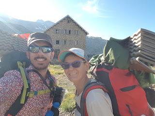
Again we had thunder over night. I was so tired I didn’t even notice and I hardly could believe it when Enrique told me in the morning. He doesn’t sleep so well in the tent but last night he was also tired and managed to get some sleeping hours. We picked up all the gear and moved to the picnic tables at the deck in front of the hut. The sun was already bathing one side of the handrail and we hang our tent there while having our breakfast.
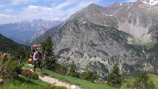
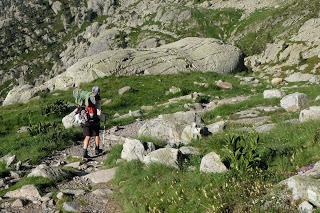
The inner part of the tent was completely dry and the cover almost was when we left to the historic Panticosa Spa (1636 m). In about two hours we reached the settlement by following the river flowing out of Bachimaña Dam-Ibon. Once down, we started a climb up to Brazato Dam-Ibon (2380 m). There’s a track that links both dam-ibons but doesn’t get as low as Panticosa Spa. We found out about it too late but we’d highly recommend to take that unmarked but clear path unless you’re going to spend the night at the guarded hut in Panticosa Spa or grabbing a meal in one of the few restaurants. Other than that, the village is cute but not very interesting and lacks many services.
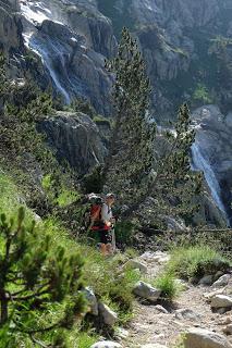
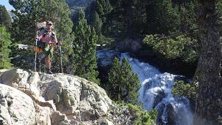
At the Dam-Ibon of Brazato we had lunch and washed some clothes with our magic outdoors soap. As we were eating our wraps, the clouds covered the sky and we hurried to pack up again and carried on to the highest point of the day.
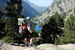
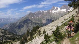
Soon after, we climbed over some steep scree and arrived in the top of Upper Brazato pass (2566 m). There were still a few snow caps that made us consider to take the crampons out but we managed without them quite well.
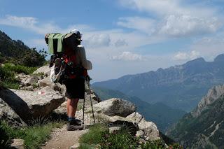
Crossed the pass, we descended slowly through the gully of Batanes. The guide we use describes this sections as “awkward rocky terrain”. We could not find a better description for it.
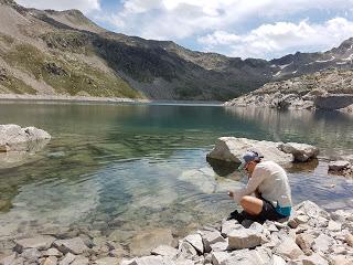
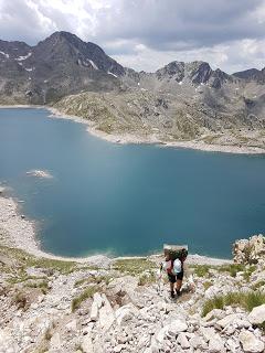
Halfway down and very close to Batans Ibones, we met a man closer to his 60s than to his 50s loaded as a donkey. He stopped to chat (the old mountaineering trick to take a break). He asked about how far he was from the top of the pass and told us that he left Bujaruelo campground about 6 hours ago. It was his first day on the trail and aimed to reach Panticosa Spa today (it was way past midday at that point). He understandably complained about the weight of his backpack which we think was close to the 20 kg if not more. The poor thing. We haven’t heard from him any more but his pace and that oversized load didn’t bode well.
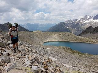
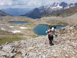
We said goodbye and good luck we carried on to a flat bit where the GR11 crosses the same river three times. What a joke! From now on we’ll check our map before crossing any streams.
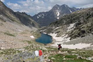
Eventually we left the Ara river on our true right and walked on the wide green prairies at the bottom of the open valley. On that day we saw uncountable marmots and hundreds of cattle. We bet there was also a dead cow on the other side of the river because we could see at least 30 vultures landing at a single spot and we could guess them fighting over something.
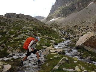
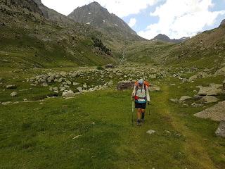
After about an hour walking in this valley we reached a shepherd’s shelter in really good conditions with a sign telling that we still had more than two hours to get to Bujaruelo. That disheartened us a wee bit because we were already feeling a bit tired.
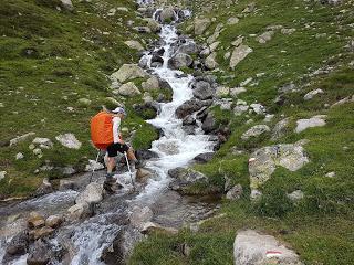
Anyways we carried on and arrived in Vado de Ordiso open hut also in a really good state. Just a few minutes after we met a guy taking pictures of birdlife and dressed in a T-shirt of Torres del Paine National Park. Small world.
From the open hut, a forestal road takes you as far as Bujaruelo crossing the medieval bridge. There’s a guarded hut (pretty much a hotel with a bar open to passers-by) and proper camping facilities with hot showers, sinks, hanging lines and an large open dining tent. The camping zone staff is very friendly and there’s a washing machine and wifi available for an extra charge. A public road ends here and it’s a popular place to set camp and spend a few days around nature. We could also check the weather forecast. Which wasn’t good. It said that we’ll get thunderstorms in the morning. Not an appealing prediction.
The day we left Bachimaña, the guard said we’ll take about 7 hours to arrive in Bujaruelo. 11 hours after this conversation when we finally could see the bridge and the houses, we felt too tired to get back to Bachimaña and kick this guy’s ass to thank him for the accurate information. We might not walk as fast as we normally do because we’re carrying heavier backpacks than usual but there’s no way that anyone could cover this trail in such time in a regular pace. Of course you can run over it and complete the distance in way less but it’s not Kilian Jornet’s time what they should be giving to average hikers.
While setting up the tent, we met Alfredo who kindly offered to help. He’s a man from San Sebastian in his 50s and quite well and fit looking. He used to run professionally and was now walking across the Pyrenees solo. Alfredo turned out to be a really interesting person and among all his curious facts, his aorta artery was made of kevlar. A real life ciborg.STAGE OVERVIEW:Date: 15th of July 2018Start time and altitude: 9:00 at 2175 mFinish time and altitude: 20:00 at 1338 mDistance: 23 kmCumulative elevation gain/loss: +910 / -1600Type of track: paths, a little scree and rural roadWeather on the day: sunny in the morning and cloudy after middayAccommodation: Bujaruelo camping area, 12 € in total (6 € each and we didn’t pay or the tent as we got there really late and got the “bivouac deal”)Enrique & Marina
