Durante la jornada de descanso en Benasque llovió bastante, lo que afectó mucho más a los atletas del Gran Trail Aneto - Posets que a nosotros.
En el camping coincidimos con Alfredo, el ciborg con la aorta de kevlar, un chico Noruego, Eliot, que siempre andaba despistado, nuestro buen amigo “Jarp” y Charly y su hermano. Ellos fueron los que nos dijeron que los 6 km que separan el camping del refugio de Coronas, todos por carretera, se podían hacer en autobús. Ellos iban a utilizarlo ya que quedaron muy cansados después de los 11 km de carretera de la salida de Parzán.
Marina y yo estuvimos mirando el recorrido de la etapa y decidimos coger el bus de las 7 de la mañana para hacer esos primeros 6 km. Llamamos a la oficina de turismo y la señora que nos atendió nos dijo que debía ser la carretera más fea del mundo y que hacerla caminando era horrible. Fue un acierto ya que la carretera realmente era muy fea y revirada.
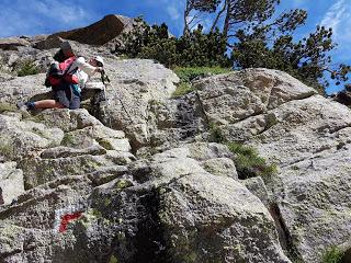
Salimos desde el Refugio de Coronas (libre) que estaba ocupado por tetrabricks de caldo Aneto, patrocinador principal del Gran Trail Aneto - Posets.
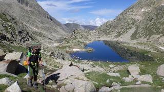
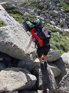
El camino transcurre por lo que ya denominamos tranquilamente “rocas incómodas” en dirección al Collado de Ballibierna (2710 m).
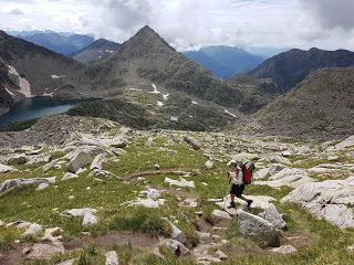
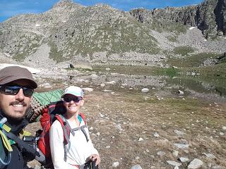
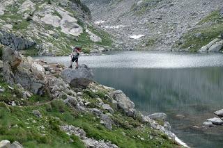
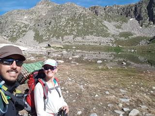
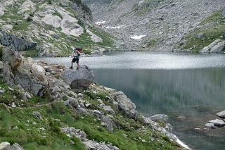
Es un camino realmente bonito que llega primero al Ibón Bajo de Ballibierna (2393 m) donde aprovechamos para desayunar unas galletas, esta vez Chiquilín.
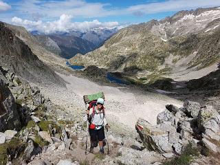
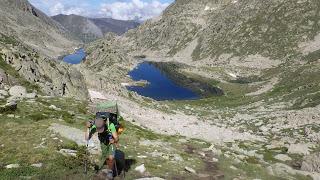
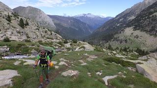
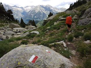
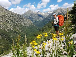
El GR11 asciende finalmente el Collado de Ballibierna por tramos verdaderamente incómodos pero bonitos, sobre todo la zona de los Altos Ibones de Ballibierna.
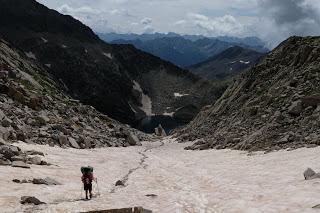
Pasado el collado descendimos de forma un poco abrupta hacia el Refugio Cap de Llauset. Ahí confluyen un montón de recorridos y las indicaciones están un poco enrevesadas.
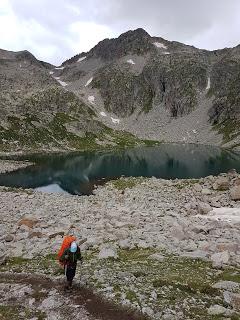
Nos encontramos con Charly y su hermano que habían salido de Benasque el día anterior. Miraron el mapa y cogieron el camino de bajada desde el refugio.
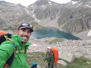
Pasada una media hora de camino a Marina y a mí no nos cuadraba tanta bajada así que miramos el ViewRanger, que nos ha sacado de muchos apuros en Canadá y la Patagonia. Estábamos en la variante GR11.5 que lleva hasta el pueblo Aneto y el embalse de Llauset.
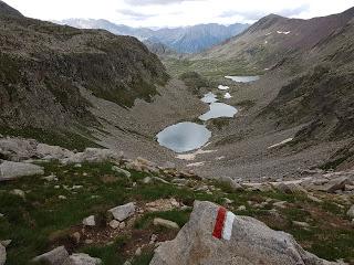
Charly y su hermano decidieron seguir por ahí ya que luego volverían a la GR11 normal pero Marina y yo decidimos recular porque el recorrido normal de la GR11 es, en principio, mucho más bonito. Yo creo que acertamos.
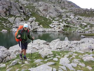
Desde el Refugio Cap de Llauset ascendimos bastante rápido al Collado de Riueno (2525 m) desde el que se puede tomar una de las fotografías más trilladas del Pirineo de Huesca, la de los Estanys d’Anglios, que son preciosos.
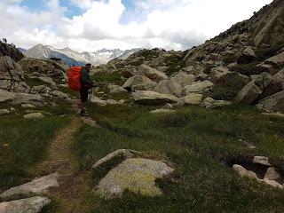
Bajamos hacia los Estanys d’Anglios viendo como las nubes de tormenta que se habían ido formando durante la mañana se quedaban en el lado de Llauset y justo el sol salía en nuestra dirección.
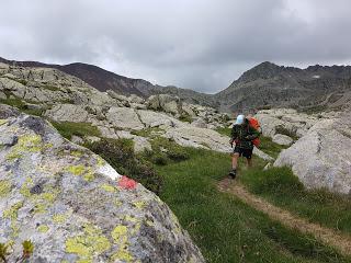
Hay un pequeño refugio libre entre los Estanys que parece ser muy popular. Pasados los Estanys descendimos el Barranco de Riueno en dirección al Valle de Salenques por el bosque y así, sin darnos cuenta, abandonamos Aragón y entramos en Catalunya.
En el Puente de Salenques se acaba la senda por el bosque y salimos a la carretera que lleva al túnel de Vielha. Fuimos a ver el refugio libre que estaba marcado en el mapa y aquello era una narcosala, estaba demasiado cerca de la carretera.
Seguimos el recorrido de la GR11, que es paralelo a la N-230, hasta llegar al Refugio de Conangles. Ahí hablamos con el guarda, Asier, sobre lo mal que estaba este tramo de GR y en especial el refugio libre de al lado de la carretera. Teníamos planeado acampar por el bosque cerca del refugio pero Asier fue tan amable que nos acabamos quedando con él y un par de huéspedes más.RESUMEN DE LA ETAPA:Fecha: 22 de julio de 2018Hora y altitud de partida: 07:15 a 1254 mHora y altitud de llegada: 18:00 a 1555 mDistancia: 27 kmDesnivel acumulado: +1700 / -1500Tipo de vía: Sendero y carreteraMeteorología: DespejadoAlojamiento: Refugio de Conangles por 15 €/persona
Enrique & MarinaEnglish versionPYRENEES TRAIL GR11 STAGE 16: BENASQUE - CONANGLES GUARDED HUT
Our rest day couldn’t have been better chosen. It rained a few times so we couldn’t spend as much time in the swimming pool as we wanted. Too bad for us, but for the Gran Tail Aneto-Posets participants was worse.
At the camping, we met pretty much all the crew who is covering the trail at the same time as us: Alfredo, the superman who’s got his aorta replaced with a kevlar artery; an absent-minded and not very social Norwegian called Eliot; our recurrent friend ¨Jarp¨ who takes the High Route and Charly and his brother, the German-English-Australian siblings. It was Charly who told us that they trail from the camping to Coronas open hut is a rough road of 6 km and there’s a local bus covering this distance three times a day. They spent the night in the camping and took the bus in the afternoon after resting during the morning and picking groceries up.
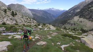
Enrique and I had a look at the next stage and check the trail and decided to take the bus on the next morning at 7 and skip those first 6 km. We check as well with locals to make sure we would not miss any interesting features and everyone agreed that it wasn’t worth the effort as it was just a plain boring rural road.
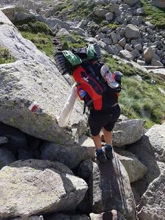
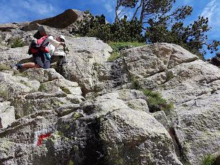
We past Coronas open hut which that day was full of people, surrounded with utes, gear everywhere and boxes of empty Aneto-branded-homemade stock which is one of the biggest sponsor of Aneto-Posets Gran Trail.
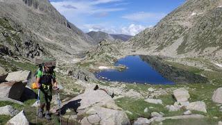
The trail crosses over what we now naturally call “awkward rocky terrain” towards Ballibierna Saddle (2710 m).
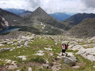
The scenery is now really nice. We stopped for breakfast by Lower Ballibierna Ibon (2393 m).
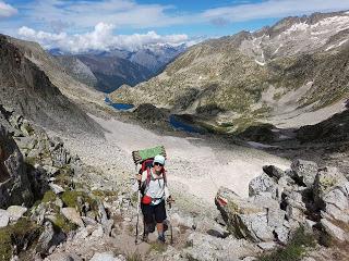
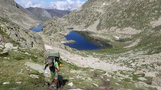
The GR11 route ascends to the highest point of Ballibierna crossing very awkward sections but remarkably scenic, specially all the area of the High Ballibierna Ibones.
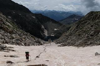
After the saddle, the way dawn is rough until Cap de Llauset guarded hut. There are lots of trails converging at this point and the signage isn’t very clear.
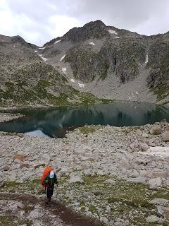
We met again Charly and his brother. After looking at their map, they took a trail descending to a nearby lake from the refuge.
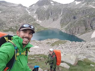
After about half an hour we realised that the lake wasn’t on the side it should be and that we were descending while according to the expected profile we should be climbing. So we checked again the GPS app to find out that we were actually on a side hike that we didn’t really want to do that takes you to Llauset dam and the village of Aneto.
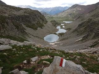
We told Charly about the other way but the decided to carry on. We chose to go back up to the hut and take the GR11 route again because it was shorter and was meant to be pretty nice. We reckon we did well.
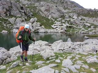
After climbing back to Cap de Llauset, we kept ascending and soon we made it to the top of Riueno saddle (2525 m). This is the site where a common instagram picture can be taken, it’s the Anglios lakes from above and it truly is beautiful.
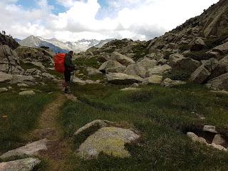
We carried on to the lakes and left the thick clouds behind, stuck above the dam of Llauset, and the sun started shinning.
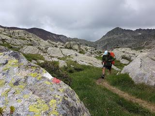
There’s a cute little shelter by the lakes and, while it’s not guarded, it’s pretty busy and many people choses it to spend the night so make sure you get there early if you want to spend the night inside. Past the lakes the track descends Riueno gully towards Salenques valley crossing a forest and, just like that, we left Aragón and entered Catalonia.
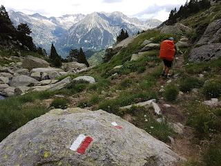
In Salenques Bridge the forest ends and the trails takes you on the wonderful road to the tunnel of Vielha. There’s an open shelter by the road marked on the map. Well, it used to be a hut but it’s now a drug ¨fix room¨. It’s way too close to the road.
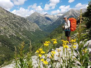
We went forward on the GR11 route which is parallel to the N-230 road and arrived in Conangles guarded hut. There we met Asier, its guard, and chatted with him about how poor that section was and what a shame to see that old building turn into a dump. Although we were planning on camping, Asier was really friendly and had enough rooms in the hostel so we didn’t have to share. For this reason, we decided to spend the night inside, have a shower and sleep in a bed. His mountain lodge is really nice, warm and homey and even has towels that we could use! Funny that this are the little things that make us really happy now. STAGE OVERVIEW:Date: 22th of July 2018Start time and altitude: 7:15 at 1254 mFinish time and altitude: 18:00 at 1555 mDistance: 27 kmCumulative elevation gain/loss: +1700 / -1500Type of track: path and roadWeather on the day: clearAccommodation: Refugio de Conangles por 15 €/personaEnrique & Marina
