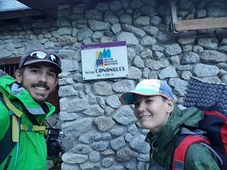
Esta fue una de las etapas más bonitas de toda la Transpirenaica y también de las más largas, con casi 12 horas caminando.
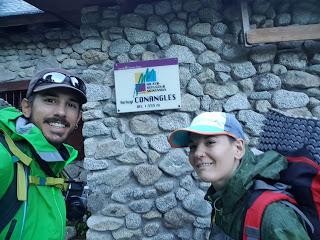
Salimos del Refugio de Conangles pronto porque Asier tenía que cerrarlo para ir a hacer actividades de montaña con los niños de Vielha a las 8 en punto.
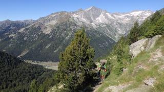
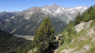
Salimos de Conangles (1555 m) camino del Port de Rius (2355 m) sin una sola nube en el cielo.
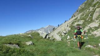
Llegamos hasta el Lago de Rius, que bordeamos por la izquierda, y ahí dejamos la GR11 y nos fuimos por la Alta Ruta Pirenaica (ARP o HRP) hacia el Estany Tort (2293 m) i el Estany de Mar (2429 m).
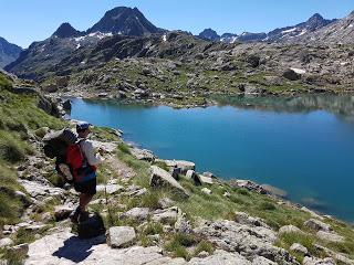
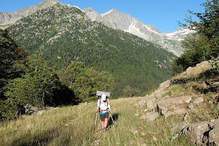
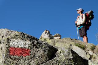
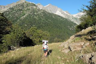
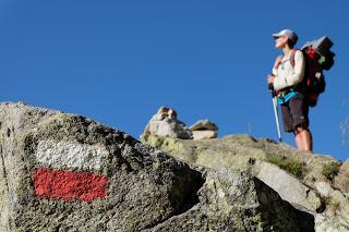
El camino deja de estar balizado de forma oficial, pasando a estar marcado con hitos de piedras apiladas por excursionistas. Es relativamente sencillo encontrar el sendero más fácil de seguir.
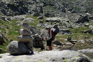
Hasta que llegamos al Estany de Mar. Bajar hasta él fue un suplicio para las rodillas pero rodearlo fue ya una tortura. Había un montón de caminitos posibles pero sólo uno era el bueno. Había trampas en todos: neveros de nieve podrida, agua estancada imposible de salvar, paredes verticales donde acababa el Estany…
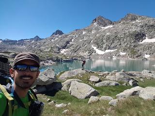
A media circunvalación del lago se nos acabó el agua y, a pesar de estar tan cerca del lago, no podíamos acceder al agua. Era frustrante. Afortunadamente hacia mucho sol, no había nada de viento y las vistas eran preciosas.
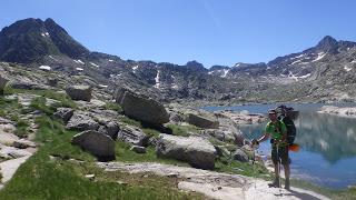
Conseguimos llegar al final del lago por donde hay que bajar hacia el Refugio de la Restanca (2010 m)siguiendo la gran catarata que forma el desagüe del Estany de Mar.
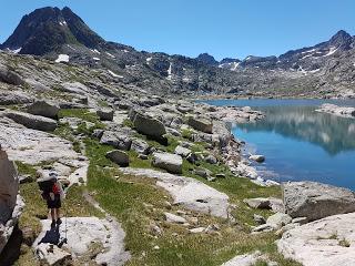
Es una bajada muy divertida y panorámica. Nos encontramos con bastantes domingueros ya que la excursión de La Restanca al Estany de Mar es muy típica ya que es relativamente corta y sencilla.
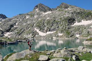
Llegamos al refugio de La Restanca hacia las 3 de la tarde y los guardas no fueron muy agradables. Se empeñaron en repetir que sin reserva no nos podíamos quedar; acampar en el Parque Nacional d’Aigüestortes i Estany de Sant Maurici está prohibido. Esto es un fiel reflejo de la pérdida de la esencia o razón de ser de estos refugios de montaña que ya no son tal, ahora son hoteles. Se han olvidado de que la gente que hace travesías largas depende de la meteorología, de las fuerzas y también de las ganas para hacer las etapas y no es posible comprometerse a llegar a un refugio en un día determinado; por eso llevamos tienda de campaña.
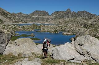
Las normas en Ordesa, por ejemplo, especificaban que no se podía acampar pero sí pernoctar o hacer vivac siempre y cuando se montase la tienda después de las 20 h y se desmontase antes de las 8. En general esto aplica a cualquier lugar de la montaña de cota superior a 2000 m.
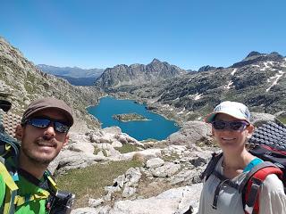
Nosotros todavía teníamos fuerzas así que volvimos a tomar la ARP en lugar de la GR11 y nos fuimos en dirección ascendente hacia el Estany de Cap de Port (2230 m).
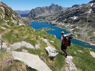
Empezamos a mirar la zona con ojos de campistas pero seguíamos fuertes y el cielo seguía sin nubes así que ascendimos el Port de Rius (2475 m), desde el que descendimos hasta el Estany de Port de Caldes (2410 m).
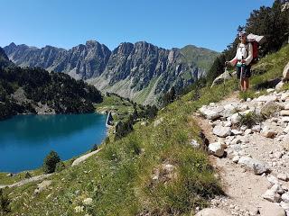
Ahí había un par de sitios donde se podía plantar la tienda pero había muchas vacas y el agua no se veía especialmente buena para beber. Así que repetimos la historia: nos sentíamos fuertes y el cielo aún estaba despejado.
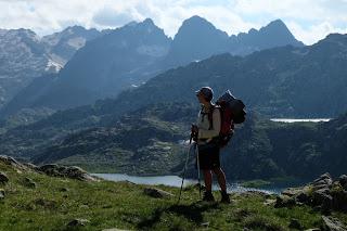
Ascendimos hacia el Port de Caldes (2568 m) y, claro, ahí no nos podíamos quedar. Sabíamos que estábamos a una hora del Refugio de Colomers, pero probablemente tendrían la misma simpatía que en La Restanca.
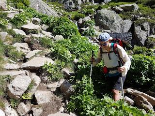
Bajamos igualmente en dirección al Llac Major de Colomers. Una vez el sol empezó a irse encontramos un sitio llano en el que cabía la tienda, justo al lado del camino. Debía ser el mejor-peor sitio posible. Era llano y blandito pero si pasaban los forestales nos iban a multar seguro.
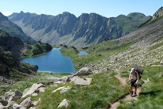
Mientras Marina se bañaba en el río de agua helada con los últimos rayos de sol yo me fui a investigar la zona a ver si encontraba algo más alejado de la senda. Y lo encontré.
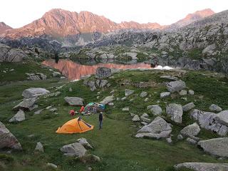
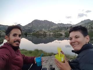
Fui a buscar a Marina y nos llevamos los bártulos a lo que puede haber sido el mejor llano de acampada de toda la travesía pirenaica. Incluso el agua del ibón en el que me bañé yo estaba tibia.
RESUMEN DE LA ETAPA:Fecha: 23 de julio de 2018Hora y altitud de partida: 07:45 a 1555 mHora y altitud de llegada: 19:30 a 2115 mDistancia: 22 kmDesnivel acumulado: +1650 / -1210Tipo de vía: Libre alvedríoMeteorología: Muy soleadoAlojamiento: Acampados al lado de un ibón
Enrique & MarinaEnglish versionPYRENEES TRAIL GR11 STAGE 17: CONANGLES GUARDED HUT - COLOMERS GUARDED HUT
Enrique and I agree that this is one of the nicest stages of the whole Transpyrenees trail. We made a very long day too and almost spent 12 hours walking.
We left Conangles Hut early because Asier, the guard, had to lock the place and go to his other job which is guiding kids in a summer camp in Vielha and he had to be there at 8 in the morning.
When we departed from the hostel (1555 m) heading to Rius Pass (2355 m) there was not a single cloud in the sky.
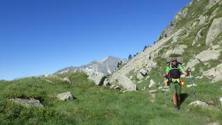
After climbing the pass we arrived in Rius Lake which we surround by its left. Then the GR11 descends while we stayed higher and followed the High Route of the Pyrenees (aka HRP or ARP) that took us to Estany Tort (meaning Twisted Lake) (2293 m) and Estany de Mar (2429 m) (Lake of Sea, literally translating). The word “Estany” is sort of the Catalan equivalent to Ibon. While “ibon ” applies only for lakes that are located specifically in the Pyrenees (regardless if they have glacier waters or not) the Catalan word “estany” also applies for clear water masses in other areas. However, the word “ibon” doesn’t exist in Catalan.
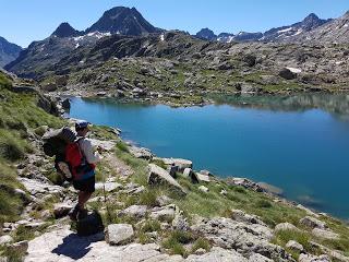
The HRP is not marked with the red and white stripes as all Great Routes. Previous hikers have stacked milestones along the way but they’re scattered around the way and there’s not just one single path that is right but a few options that will take you to the same place. It’s not hard to find the right direction but the terrain was just a bit more awkward to follow.
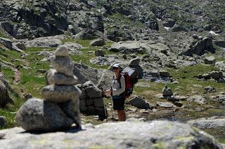
Then we got to Estany de Mar and that changed. The scramble to reach its elevation was hard on our knees and the way to get around went from awkward to annoying. The number of milestones rocketed up and we had to be really careful not to miss the right direction. The trail provided with all sorts of entertainment: terribly soft snow caps, stagnant stinking water ponds, vertical walls where the Estany ends…
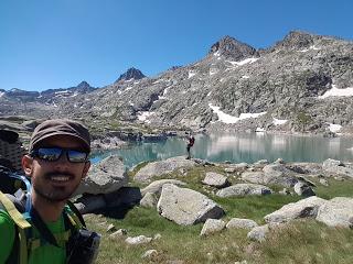
About half way around the lake, we ran out of water. It felt ridiculous to be so close to such a massive water mass and to be unable to reach it. Nevertheless, the day was so clear and the views so pretty that made every single step worth the effort.
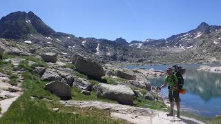
We finally reached the bottom end of the lake. The HRP then descends quite fast to Restanca Guarded Hut (2010 m) following the huge waterfall that Estany de Mar forms when draining to the dam by the hut.
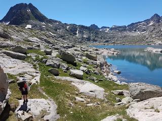
This descending section was fun and scenic. The trail was busy for us because is a relatively simple and short day hike starting from the guarded hut of Restanca. Restanca is one of those mountain hostel/hotels stablished along the Pyrenees like Goriz, Pineta and many others where there’s a bar, beds, showers, they cook for you and have a tiny shop.
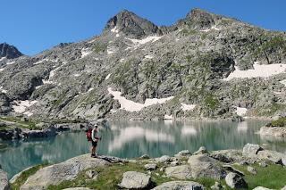
When we got down to the hut it was about 3 pm. The guards at the hut weren’t very friendly when we asked about camping somewhere around. They repeated several times that we couldn’t stay because we didn’t book in advanced (not that we wanted anyway…) but at the same time they kept saying that it is forbidden to camp in the whole Natural Park of Aigüestortes and Estany de Sant Maurici. That doesn’t make any sense and proofs the nonsense that those massive huts are. They actually are hotels and lost the reason why shelters are called that way. At some point down the line they forgot that people relies on meteorology, their health and strength to meet their planned goals so it’s really hard to book in advance. Even harder when you need phone signal to do so and you’re on a multi-day hike. We always carried the tent to be safe.
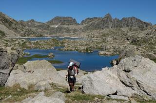
While in Ordesa National park, for instance, the rule is that no one is allowed to set camp but it’s fine to spend the night in your tent as long as you build it after 8 pm, you take it down before 8 am and of course you leave no trace. This is the most common rule everywhere where the altitude is 2000 m or more. In Aigüestortes and Estany de Sant camping is completely forbidden.
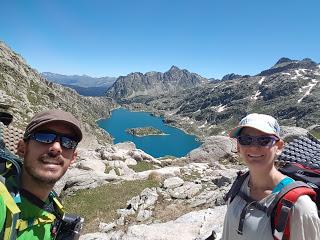
We felt strong and kept going. We took the HRP again climbing to Cap de Port Estany (2230 m).
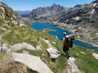
We walked looking the surroundings with campers’ eyes but the weather forecast was meant to be very good and the sky agreed with that prediction. We went forward to the top of Rius Pass (2475 m) and up to the lake of Caldes Pass (2410 m).
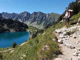
In this pass we saw a few good spots to camp but there was a lot of cattle grazing around the lake. We still felt good and the sky was looking good too, so we went ahead.
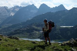
We crossed Caldes Pass (2568 m) where there wasn’t a single spot to camp. Soon after that, the next guarded hut called Colomers would be close. Nevertheless, getting to Colomers didn’t help because we didn’t have a booking either.
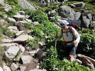
Still, we kept descending towards the Larger Lake of Colomers. On the way down, the sun started to set and we really felt we had to stop and organise the night. We found a flat and wide enough spot for the tent. It was between the river and the trail. So it was the best worst place to camp: comfy but if the forest police would come they’ll definitively catch us.
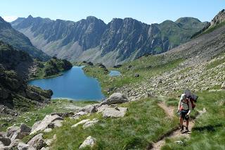
I washed up in the ice cold water of the river while Enrique went to explore the area in search of a better spot. And he found it.
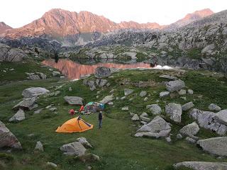
He came to pick me up and we moved all our stuff to the best camping spot we found in the whole trail of the Pyrenees. Even the ibon where Enrique bathed was the best as it was warm, for mountain standards, of course.
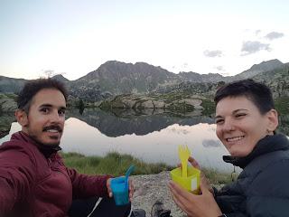
STAGE OVERVIEW:Date: 23th of July 2018Start time and altitude: 7:45 at 1555 mFinish time and altitude: 19:30 at 2115 mDistance: 22 kmCumulative elevation gain/loss: +1650 / -1200Type of track: unmarked trailsWeather on the day: completely clearAccommodation: Free camping by a mountain lakeEnrique & Marina
